
Recommended Articles
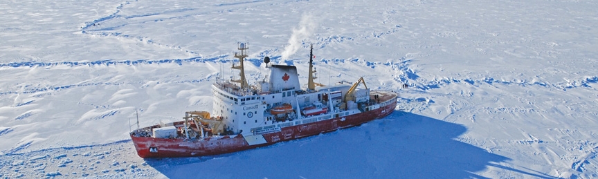
Iqaluit Coast Guard Office Maintains Pan-Arctic Vigil
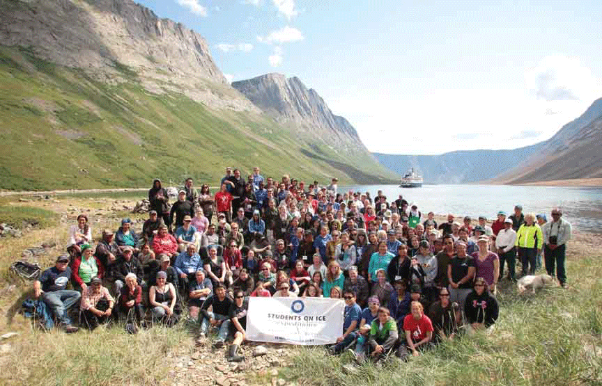
Students on Ice: Arctic Expedition A Voyage of Discovery and Transformation
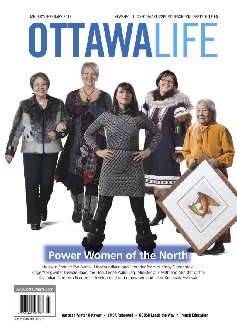
Arctic Series: Power Women Of the North