Recommended Articles

Brief history of online slots
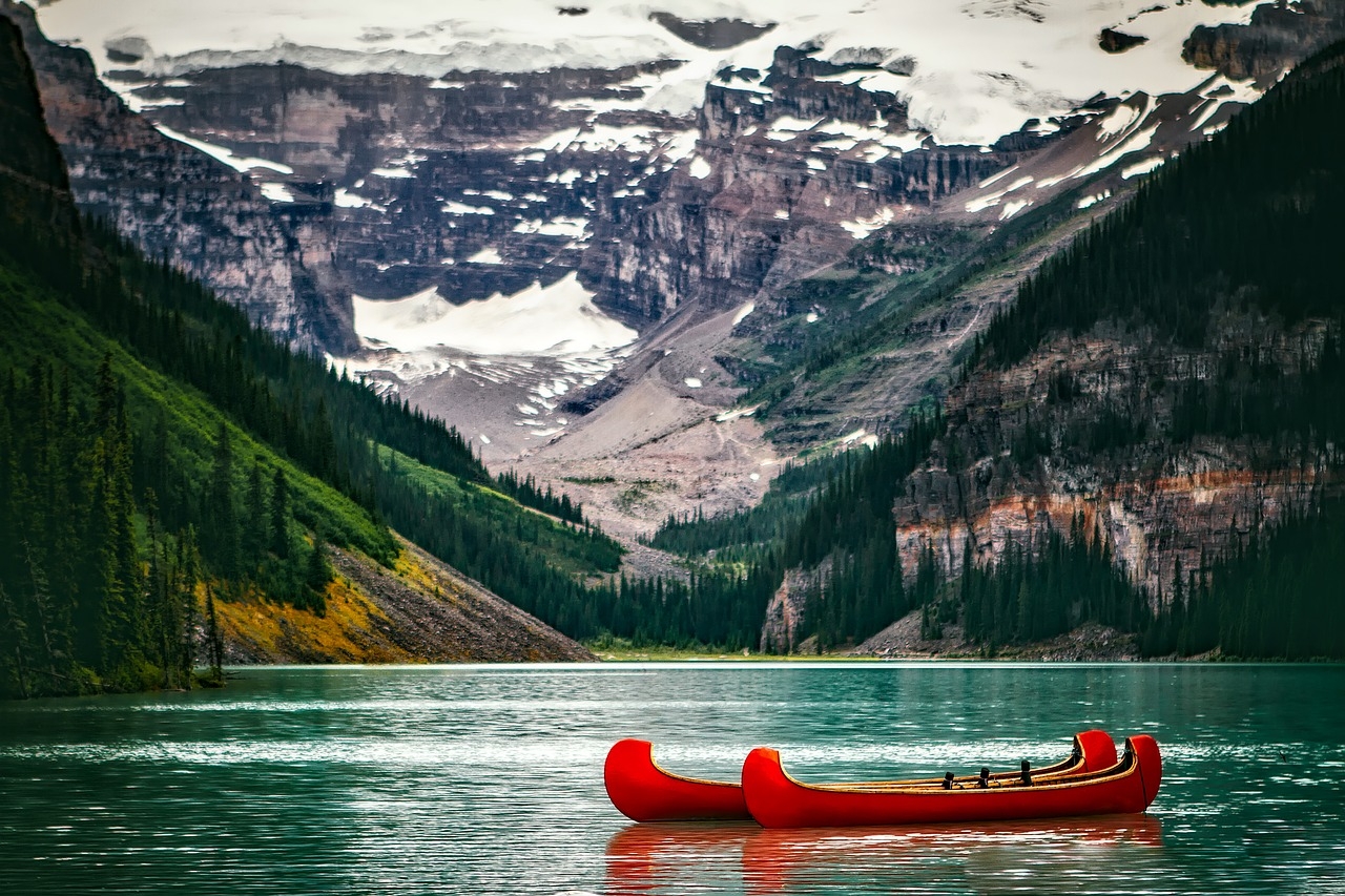
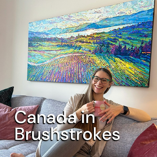
Traveling Canada: A Guide for Those Who want to Explore the Great White North
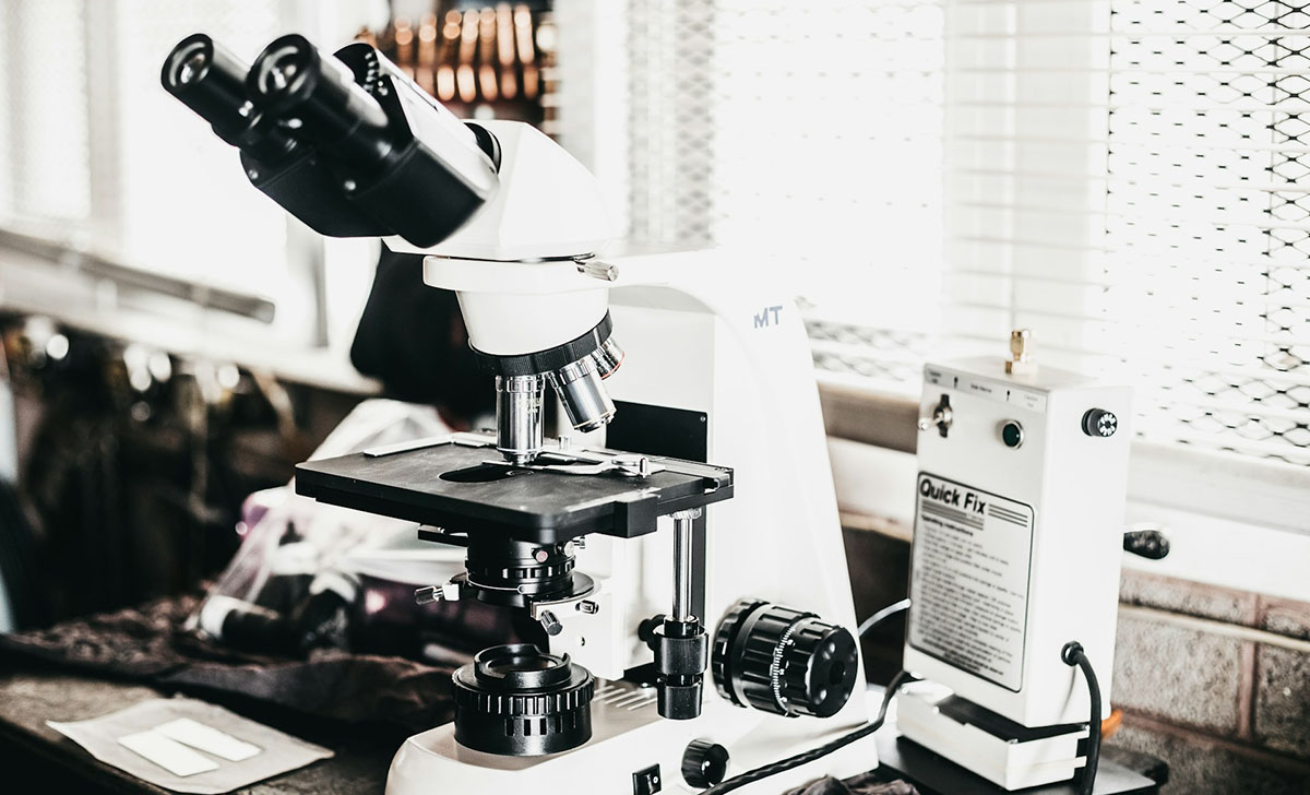
Research Peptides in Fat Metabolism and Adiposity