Recommended Articles

Give rogue councillors the provincial boot
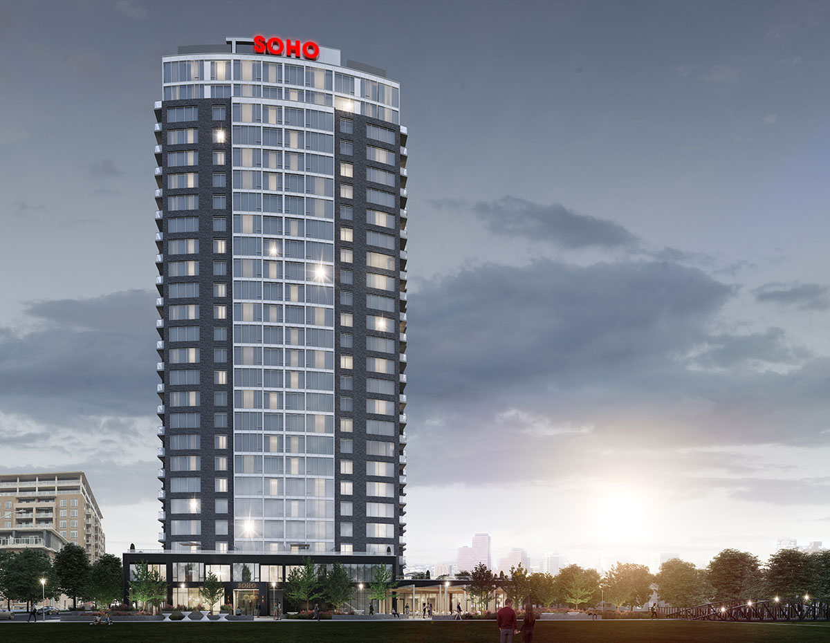
Soho Champagne II Offers Sustainable Luxury in Ottawa’s Little Italy

Adieu Jim Watson, hello . . . Bob Chiarelli?